
Public sector · Public-sector agency
Intelligent traceability for the public sector
Computer vision in the field, geo-referenced evidence, and oversight dashboards to control what used to be recorded by hand.
- Client
- Public-sector agency
- Sector
- Public sector
- Product
- Arena Transparente
In numbers
The initial problem
Overseeing territorial operations with incomplete data, scattered evidence, and poor traceability made public control and detecting non-compliance harder.
The previous process
Territorial control depended on manual records and fragmented evidence that was hard to audit and georeference.
The solution implemented
Evidence capture at strategic points with edge computing on Raspberry Pi, OCR and computer vision to identify license plates and vehicle type, API integration, cloud processing, and enforcement dashboards.
How we did it
Capture points in the field
We installed capture nodes with edge computing on Raspberry Pi at the points where the operation to be controlled actually runs.
Automatic identification
OCR and computer vision recognize plate and vehicle type, and record each pass with date, time, and location.
Consolidation in the cloud
Evidence is integrated by API and processed in the cloud, staying available for audit without depending on the device that captured it.
Dashboards for oversight
The agency reviews activity by period, zone, and vehicle, and downloads reports for control procedures.
Integrated systems
- Edge AI (Raspberry Pi)
- OCR and computer vision
- APIs
- Cloud
- Dashboards
The result
More objective auditing, georeferenced evidence, reports for enforcement, territorial traceability, and greater institutional transparency.
What changed in the operation
- Control no longer depends on manual records.
- Every movement has geo-referenced, auditable evidence.
- Oversight relies on objective reports by zone and period.
- The information supports institutional decisions and procedures.
Frequently asked questions about this case
Can it be applied to other public controls?
Yes. The scheme of field capture, automatic identification, and an oversight dashboard is reusable for any operation recorded by hand today.
What if the capture point loses connectivity?
Processing happens on the device (edge computing) and evidence syncs when the connection returns, with no lost records.
Is the evidence usable in an administrative procedure?
It is designed for that: each record keeps image, identification, date, time, and location, and is exported as a report for the agency.
Keep exploring
Other work by the team, across different sectors.
 Industry
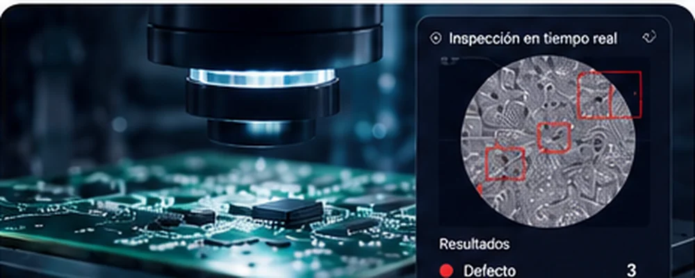
Industrial vision for defect detection
Computer vision to detect microscopic defects and a RAG platform to query manuals and technical documentation.- Anomaly classification
- Traceability per part
- Technical documentation queries
 Public works
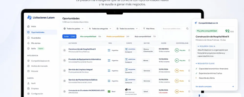
Public tenders with AI: opportunities filtered by real fit
Official Latin American sources unified, with a compatibility score per company and alerts before closing.- Unified official sources
- Compatibility score
- WhatsApp alerts
 Accounting
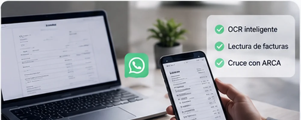
Accounting automation with AI and tax filings
A workflow that receives, reads, validates, and files the firm's source documents with no typing, plus missing-item alerts per client.- Reading with OCR and AI
- Validation against ARCA and banks
- Alerts for missing documentation
Tell us which process you'd like to improve
We'll look at how it works today and send back a concrete diagnostic: what to automate, how, and what result to expect. No cost, no commitment.